Muncak App
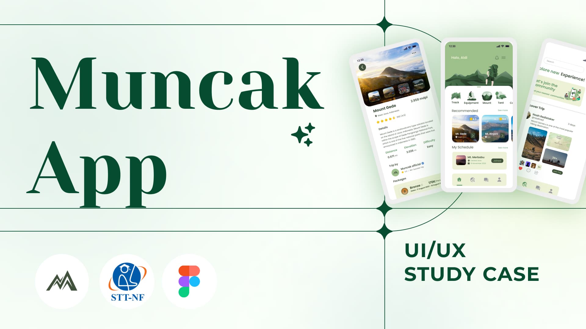
Muncak App
― A hiking-information and navigation prototype for beginner climbers
Beginner hikers need route context, mountain information, and basic navigation support before and during a climb. Muncak explored how one mobile experience could organize those needs.
| Field | Record |
|---|---|
| Role | UI/UX project contributor |
| Output | Mobile prototype |
| Research tools | Google Forms and Maze |
| Status | Prototype with incomplete research notes |
Problem
Hiking information often sits across social posts, map tools, and community discussions. A beginner may know the destination while lacking a clear view of preparation, route context, or where to ask for help.
Role and scope
I contributed to the mobile design with Figma, Google Forms, and Maze. The team did not keep participant counts, task scripts, findings, or a feature-level contribution log.
Process and decisions
The prototype groups mountain discovery, mountain information, compass support, and community access. The intended journey moves from choosing a destination to preparation and route support.
We used Google Forms and Maze during research and testing, but I no longer have the participant count or results. I do not attach a usability score to the prototype.
Prototype output
The Figma prototype covers mountain discovery, preparation information, route context, compass support, and a community path.
I cannot report task completion, design changes after testing, or field use during a climb because the team did not retain those results.
Limits
The missing research notes limit the UX conclusions I can draw. The compass concept also needs device testing and a safety review before use on a real route. I would run a new test round before promoting this project as a complete UX case.